If Lost Mine is the hike everyone should do, the South Rim Loop is the hike serious hikers come to Big Bend for. Twelve and a half miles, 1,700 feet of vertical, and the kind of horizon-to-horizon view that's almost embarrassingly photogenic. Most people leave it telling everyone they meet it's the best day hike in Texas. They might be right.
The Numbers
- 12.5 miles round-trip loop
- 1,700 feet of elevation gain (NPS measurement; some GPS apps log it closer to 2,800 due to rolling terrain)
- 6 to 8 hours for most hikers
- Strenuous — sustained climbing, distance, and altitude (you spend hours above 7,000 feet)
- Optional Emory Peak detour: +3 miles, +800 feet, +1.5 hours. Big Bend's highest point (7,825 ft)
The Route
The loop starts and ends in the Chisos Basin Trailhead — the same trailhead complex as Lost Mine. There are two ways up: the steeper, shorter Pinnacles Trail and the gentler, longer Laguna Meadow Trail. Most experienced hikers go up Pinnacles (get the brutal climb out of the way early) and come down Laguna Meadow (easier on the knees after a long day).
Pinnacles up. The first 3.5 miles climb 1,800 feet through Mexican pinyon, alligator juniper, and the occasional Douglas fir — Big Bend's only stand of conifers that wouldn't be out of place in the Rockies. The trail is well-graded but unrelenting.
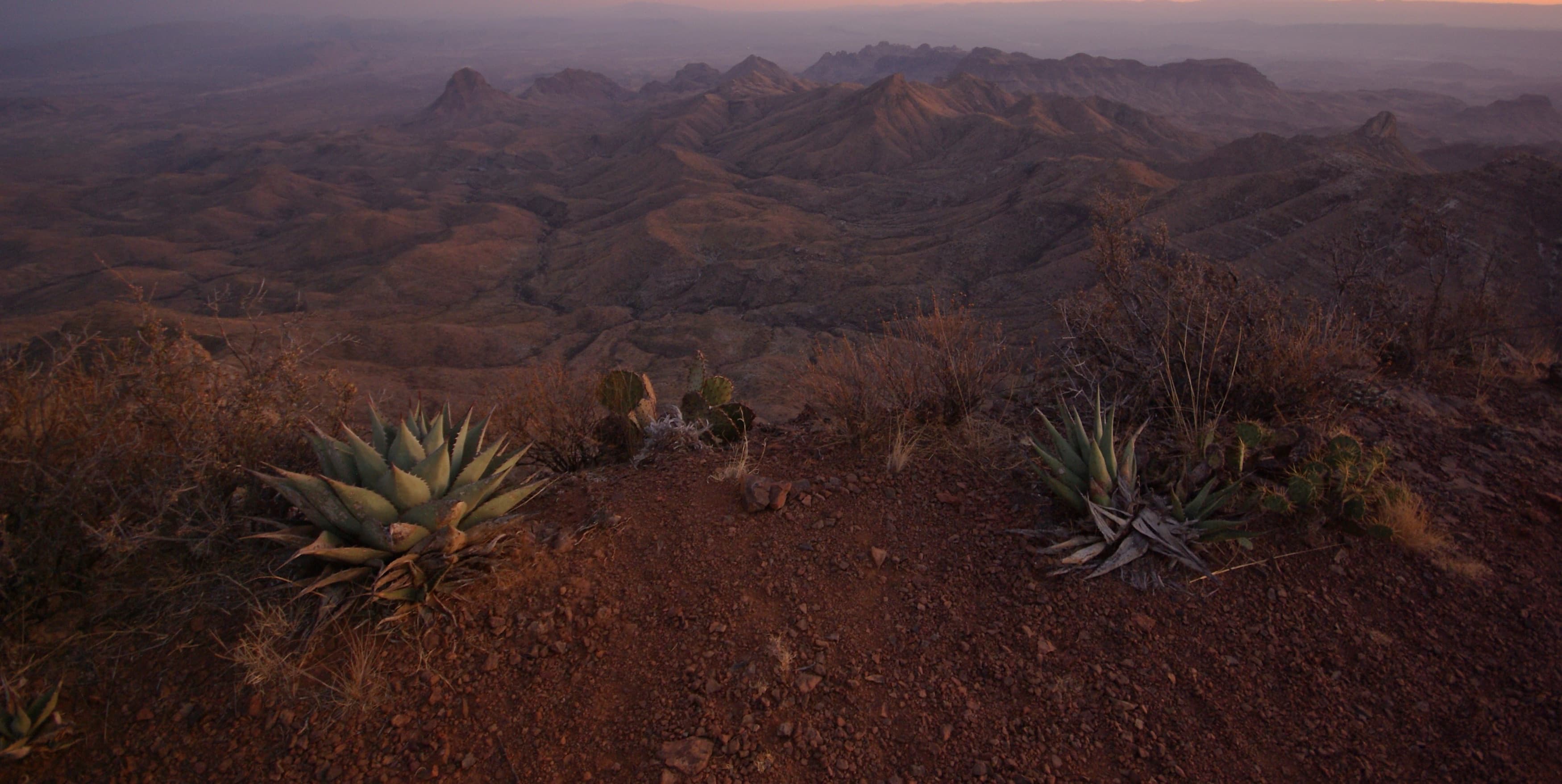
The Boot Spring loop section. Once you crest the Pinnacles, you're on the relatively flat top of the Chisos. The trail meanders through Boot Canyon, past Boot Spring (intermittent — don't count on it for water), and into a mile-long open ridge that's the actual South Rim.
The South Rim itself. This is the moment you came for. The rim drops away in a sheer 2,000-foot cliff. From the edge you can see south into Mexico for 50+ miles, across the entire Sierra del Carmen range. To the east and west, the desert spreads out toward the Rio Grande. No other Big Bend overlook comes close.
There's a peregrine falcon closure in spring that can shorten the rim section. Check at the trailhead.
Laguna Meadow back down. The descent follows the namesake meadow, an alpine grassland that floods after summer rains. Long, gradual switchbacks return you to the Basin Trailhead.
When to Go
October through April. The Chisos run 15-20°F cooler than the desert floor, so the trail is hikable when much of the rest of the park is too hot.
Plan well for summer and start your hike really early — possibly before sunrise. Get the climb and the rim behind you in the cool morning hours and aim to be heading down by early afternoon. Keep an eye on the sky: afternoon thunderstorms can build above 7,000 feet, and the exposure on the rim is total, so you want to be off the high ground if weather moves in.
Winter is excellent — clear, cool, often no one else on the trail. Snow is rare but possible after winter storms; check trail conditions.
Practical Tips
Start at sunrise. The Pinnacles trailhead parking fills up by 8am on weekends in peak season. More importantly, an early start means you're crossing the rim in the best light and back down before afternoon weather changes.
Carry 3 liters minimum, 4 in warm weather. Boot Spring is unreliable. There is no other water on the trail.
Two snacks become four snacks on a hike this long. Bring more food than you think.
A backcountry permit is required only if you camp overnight. Day hikes need no permit.
Trekking poles help on the descent. 1,700 feet of switchbacks at the end of an 11-mile day is harder on knees than the climb up.
The Emory Peak Detour
If you have the legs for it, an obvious side trail near the Boot Spring junction climbs to Emory Peak — the highest point in the Chisos and in Big Bend National Park. It's a 3-mile round-trip detour with 800 feet of additional gain, the last 0.1 mile a non-technical Class 3 scramble up sun-warmed bedrock. The summit register is full of names of people who didn't think they'd make it. The view is, somehow, even bigger than the South Rim.
Adding Emory turns the day into a 15-16 mile, 9-10 hour effort. Plan accordingly.
A Note on Difficulty
The South Rim Loop is rated strenuous and it earns the rating. It's not technical — no scrambling, no exposure (except very near the rim edge, which has obvious cliffs and you can stay back from). But the combination of distance, altitude, and the relentlessness of Pinnacles will humble unprepared hikers.
If you've done Lost Mine (4.8mi, 1,100ft) and felt strong at the top, you can do the South Rim Loop. If Lost Mine wiped you out, build to it.
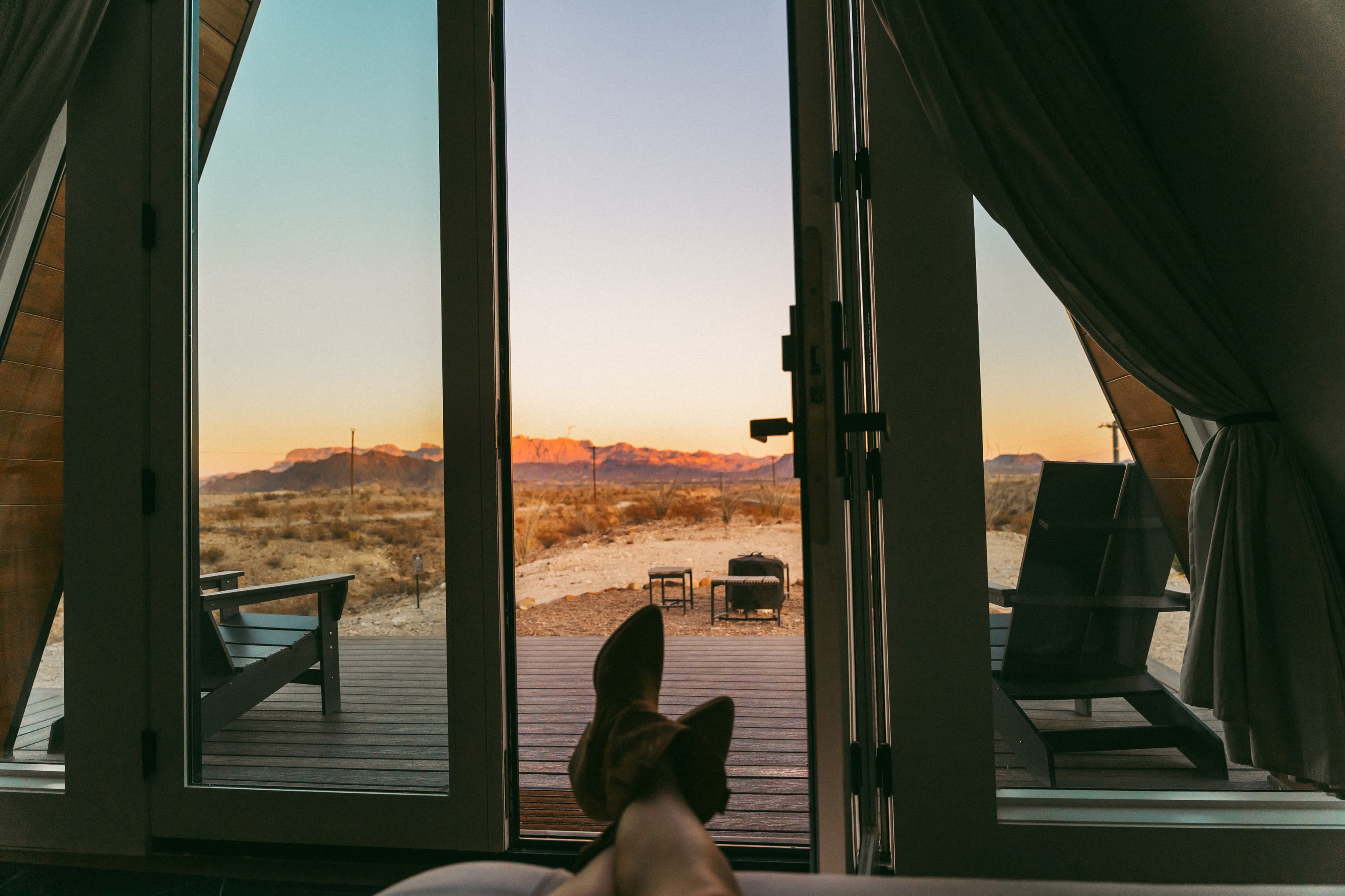
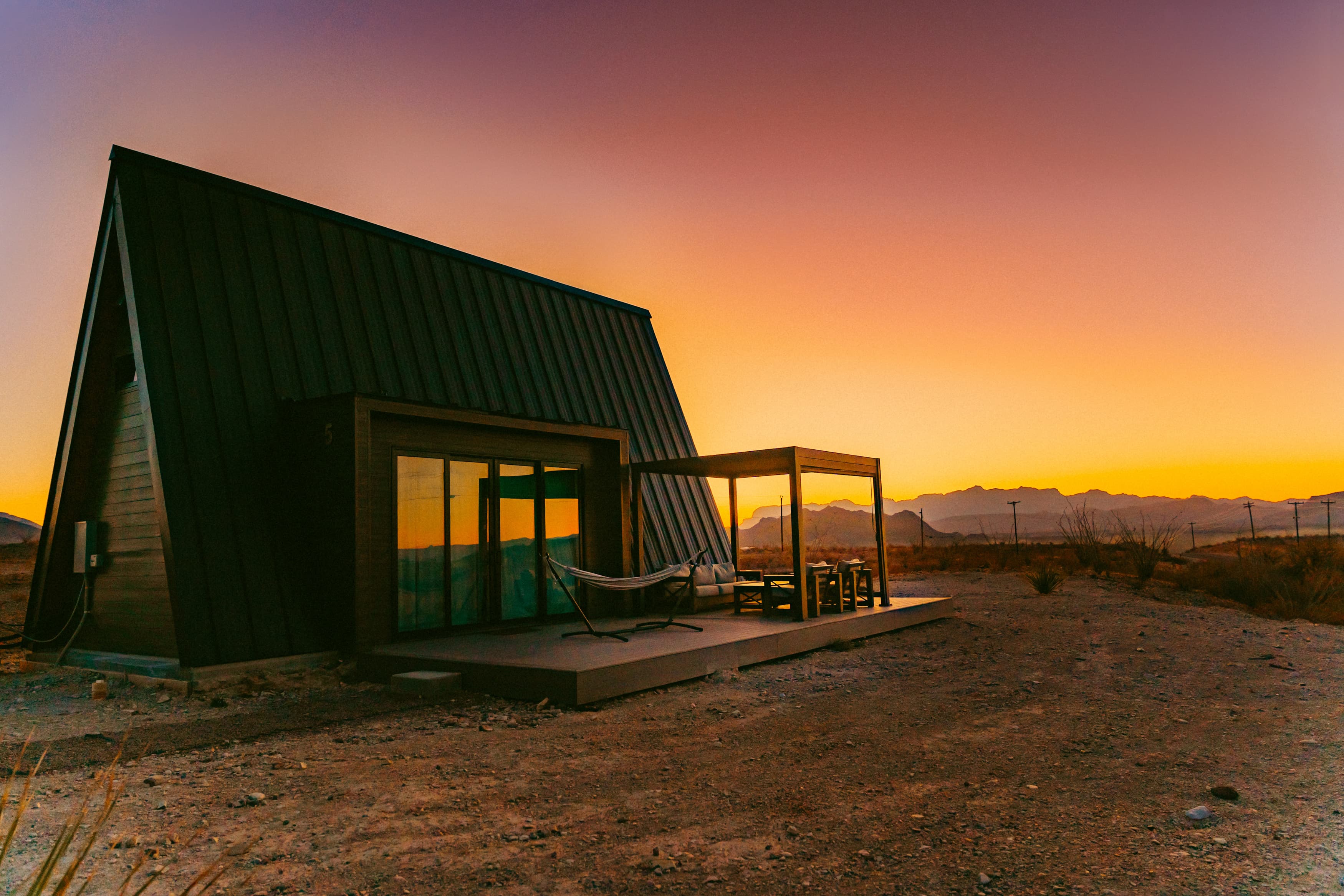
From Stardust Big Bend, the Chisos Basin Trailhead is about an hour's drive. Most South Rim hikers grab dinner at the Starlight on the way home — you'll have earned every bite.